


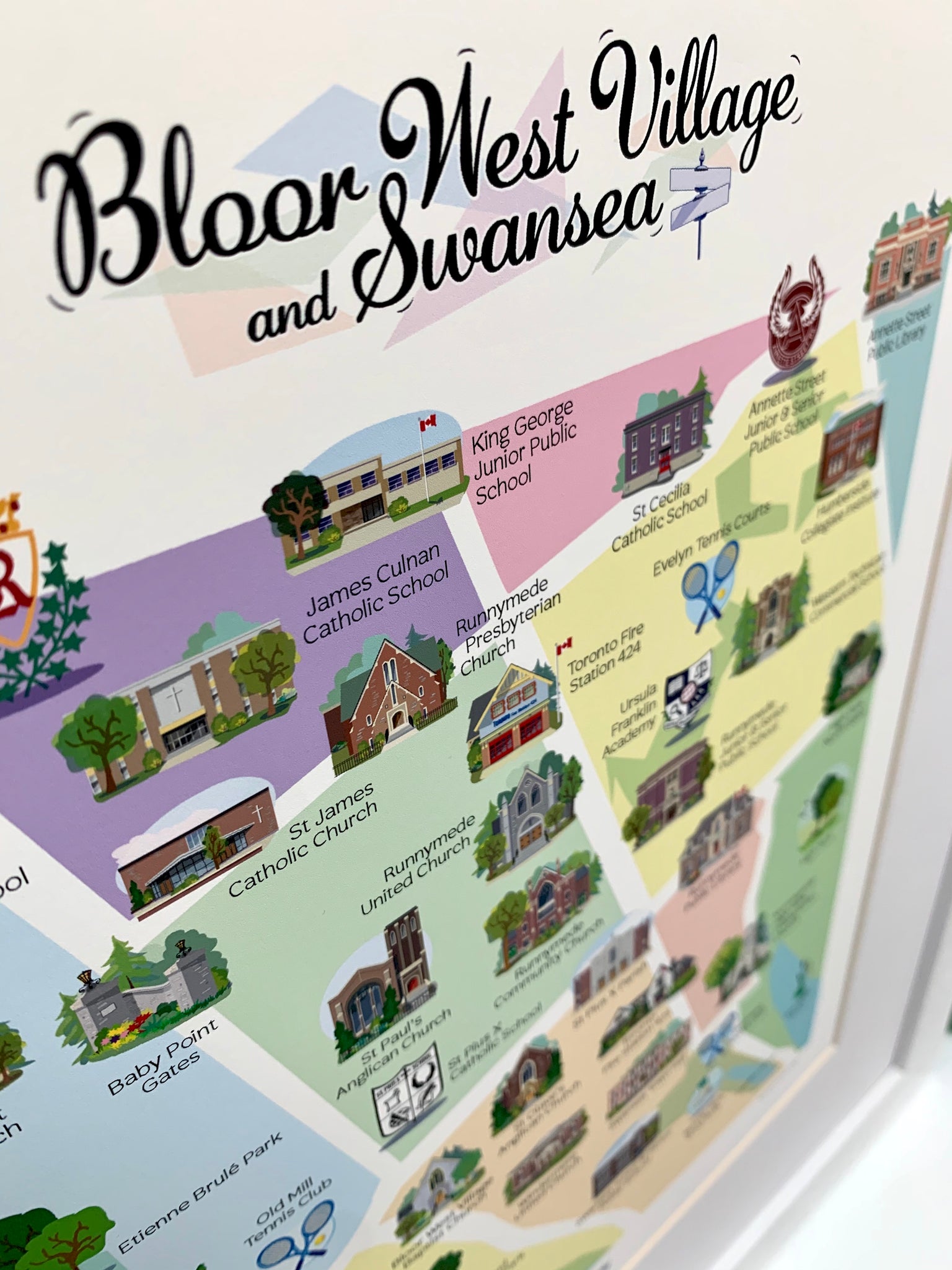
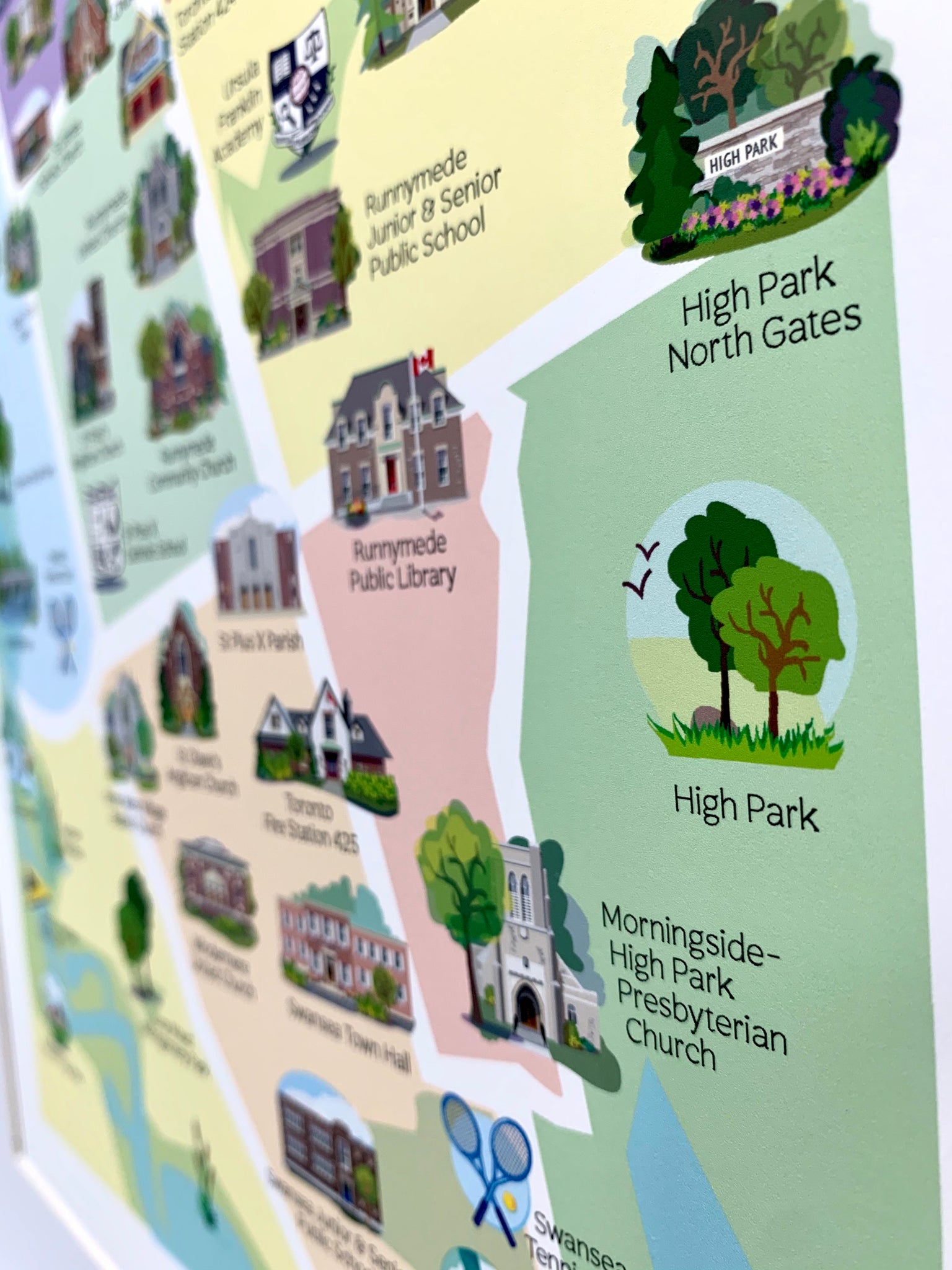


Created and printed by me, a proud Toronto resident and artist. Illustrated map of Bloor West Village and Swansea are printed on bright white, fine art paper using professional grade, high-res printer with archival inks. Matted and backed. Two sizes available. Also available framed - Choose 8 1/2 x 11 or 11 x 14 print.
*20% of proceeds from the sale of this item are donated. Thank you for supporting local charities!*
**Local delivery or pick up only**